As Coloradans, we have the privilege to look west and see the wonder of the Rocky Mountains. Whether we’re cruising with the top down or stuck in stop-and-go traffic, the mountains always provide us with solace and serenity. Therefore, by knowing a little bit about where they come from, we’re able to better appreciate this wonder we see every day.
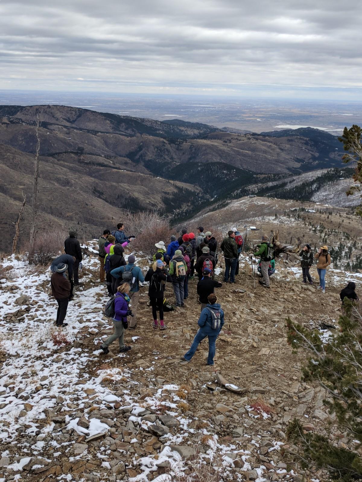
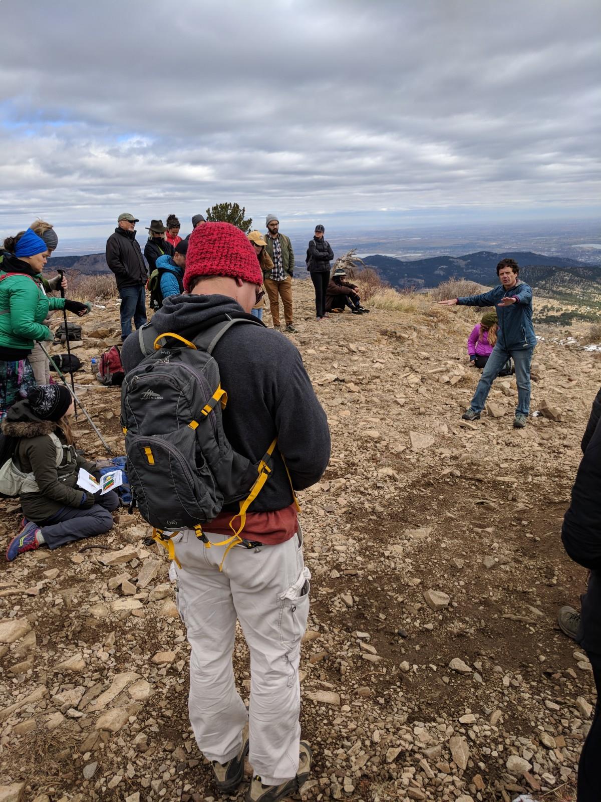
On October 28th, 2017, as part of TEDxMileHigh’s Wonder conference, Geology Professors at the University of Colorado – Boulder, Dr. Lon Abbott and Dr. Robert “Bob” Anderson, led a group of 40 curious Adventurers into the Rocky Mountains to learn more about where they come from and why they look the way they do.
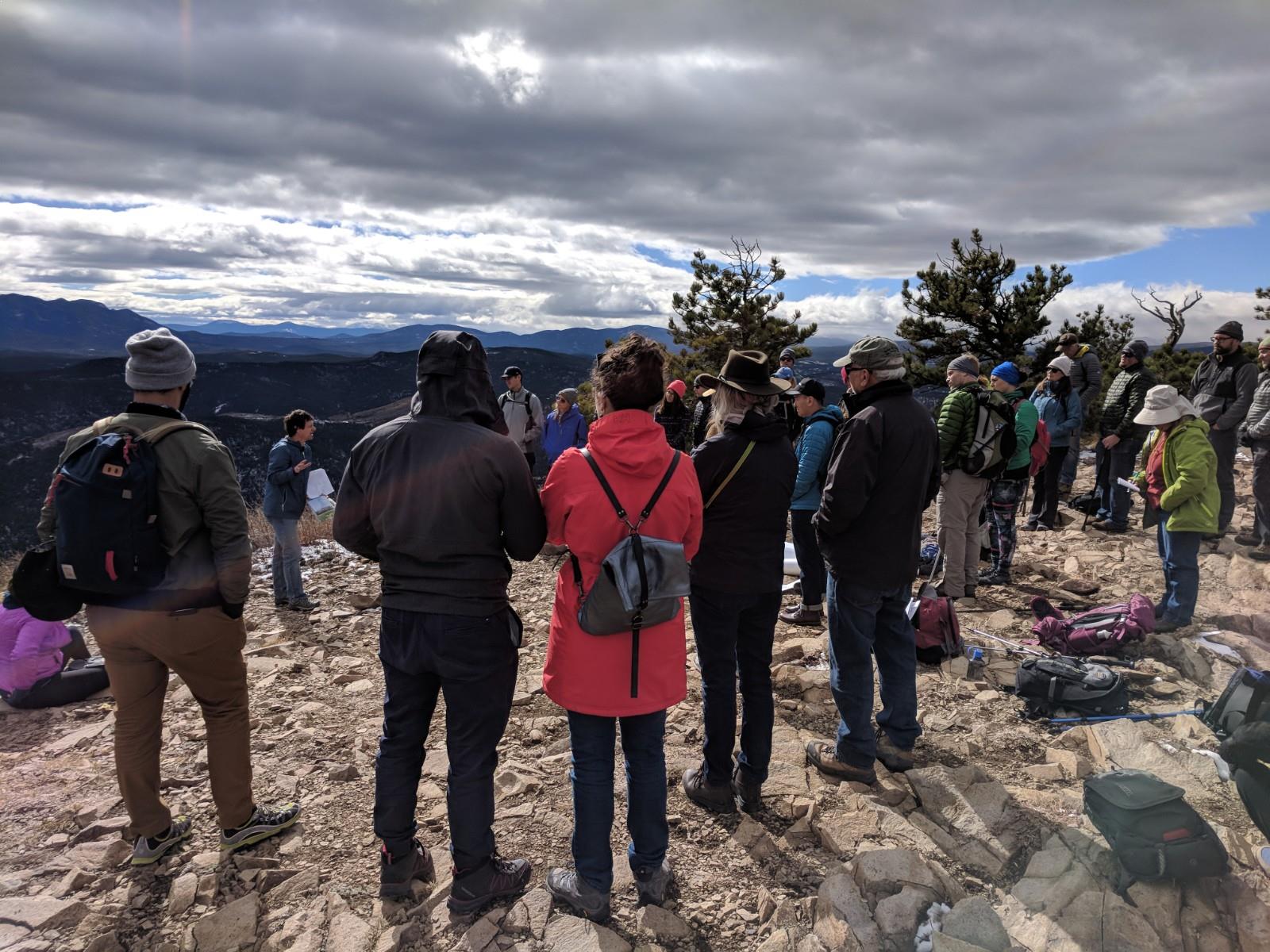
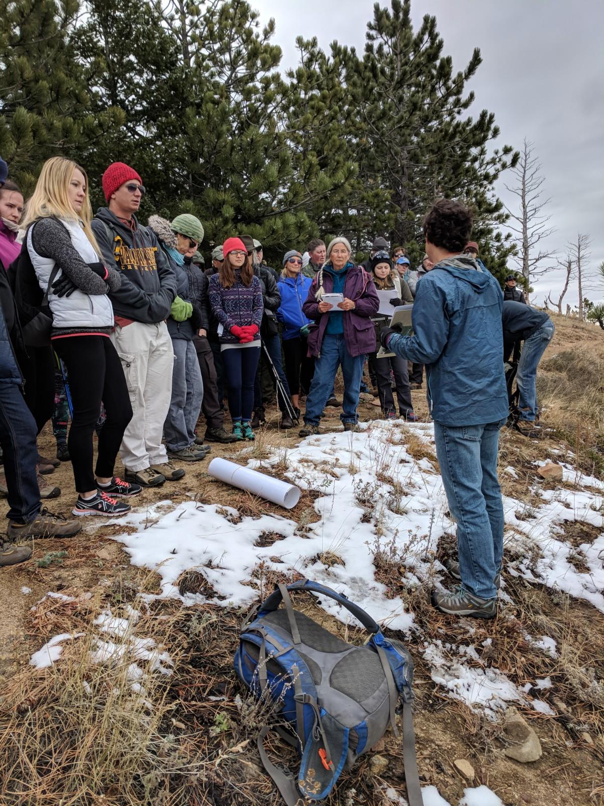
It was a brisk morning with a sun that waited patiently to pierce through the clouds. The parking lot at Sugarloaf Mountain Trailhead filled up quickly, while everyone converged on the professors’ van that they had put up maps, graphs, and diagrams. Speaking audibly for the large crowd, Bob presented by introducing an overall explanation of the Rocky Mountains.
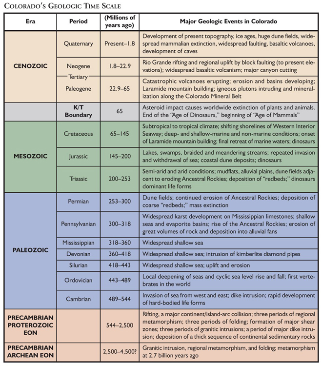
He began by explaining the boundaries that the Colorado Rockies sits on. Most mountain ranges form adjacent to tectonic boundaries at which the two plates converge with each other. This convergence creates a space problem that is solved by stacking slabs of rock one atop another along thrust faults. This stacking causes thickening of the crust to build a crustal root. Examples of ranges built in this way include the Alps, the Himalaya, and the Andes.
Both Lon and Bob explained that much of Denver is built on a rock unit consisting of mudstone deposited in a shallow ocean that covered the entire state of Colorado until 68 million years ago. That places a maximum age on the formation of the Rockies.
Thrust faults similar to those in other convergent plate boundary mountain ranges (like the Himalaya or the Alps) exist in the Rockies. These faults were active about 65 million years ago, during an episode geologists call the Laramide Orogeny (orogeny is a fancy word for a mountain-building episode). This confirmed past theories that mountain range similar to today’s existed in Colorado 65 million years ago. But the Colorado Rockies are not a “textbook” convergent plate boundary mountain range for several reasons. It turns out that the Laramide Orogeny is only part of the story. There had to be a second event, after the Laramide Orogeny, that contributed to the formation of the mountains we enjoy today. When that mountain-building episode happened and why are questions that scientists are still trying to answer.
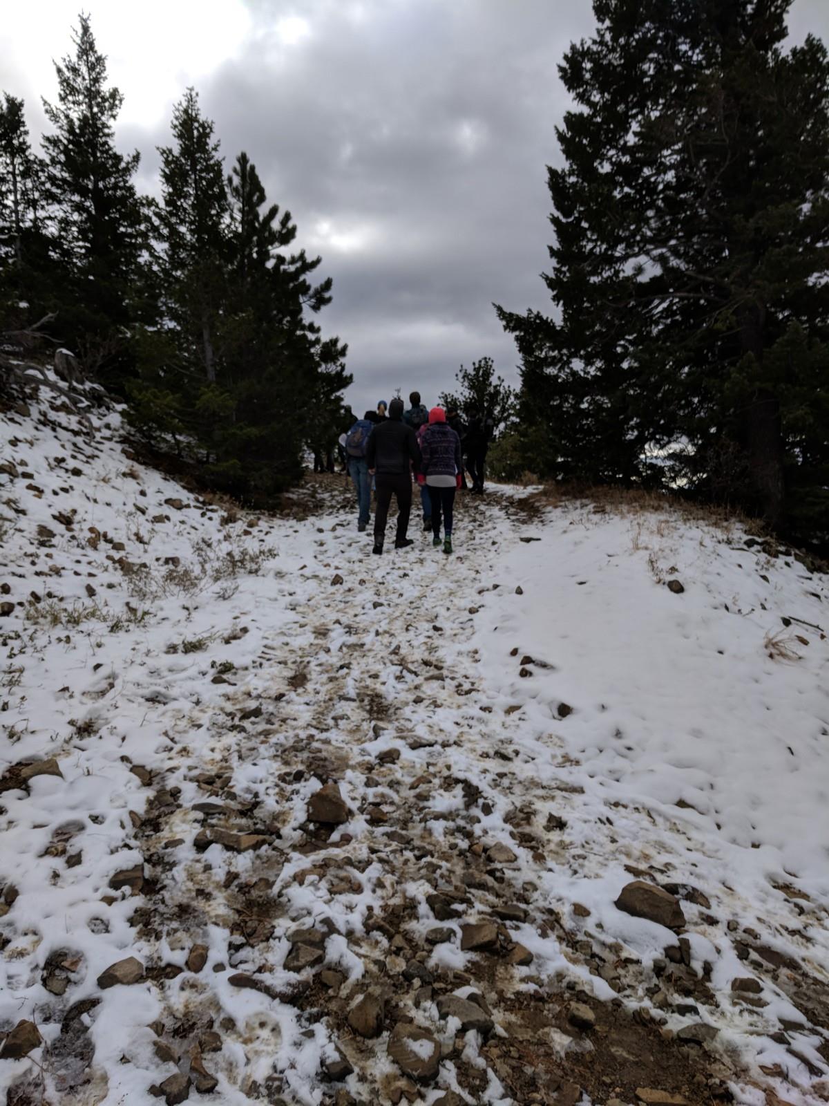
Before we got too cold, Lon and Bob began the hike up to the summit while continuing their explanation of the Laramide Orogeny.
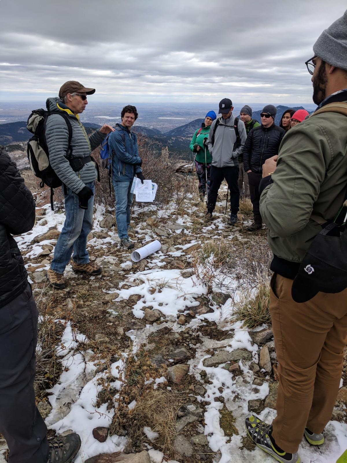
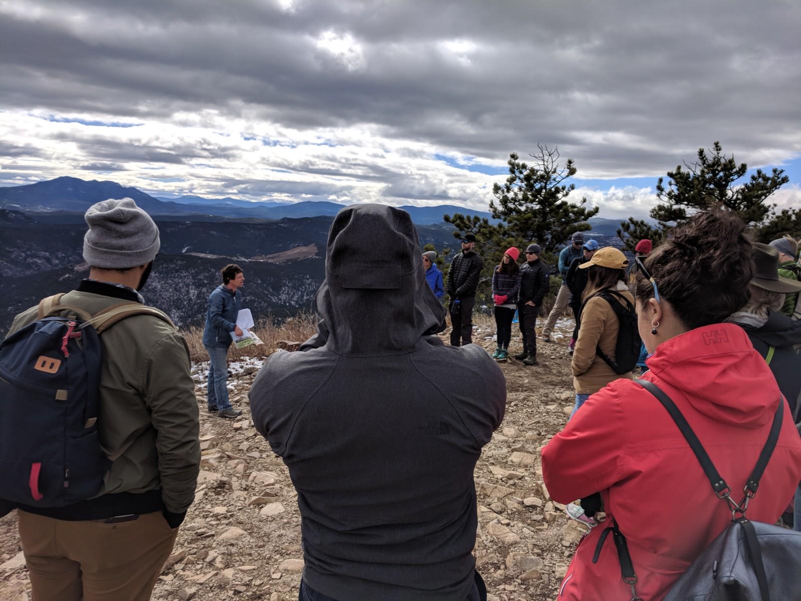
As we neared the top looking over the vast plains to the east and the majestic peaks to the north, west, and south, the Professors continued their explanation.
The thrust faults active during the Laramide Orogeny might explain the mountains via the crustal thickening they accomplish. But the Great Plains are also anomalously high and they don’t possess any such faults. Almost every other big mountain range has a low-elevation plain at its foot, not one that hosts a ‘Mile High City’. So we need to explain not just why the mountains are here but also how the Great Plains to the east and the Colorado Plateau to the west got so high even though they don’t have lots of thrust faults.
A mountain range like the modern one definitely existed 65 million years ago, raised in response to the Laramide Orogeny (i.e. the Laramide Rockies). But those mountains experienced major erosion that resulted in a gentle upland surface called the Rocky Mountain Erosion Surface. Examples of that surface include the gentle topography on the Peak-to-Peak Highway, the comparatively flat top of Lookout Mountain above Golden, the nearly flat crest of the Rampart Range between south Denver and Colorado Springs, and the gently sloping plateau that forms most of the crest of the Wet Mountains between Canõn City and Walsenburg.
As the Laramide mountains eroded, the sediment produced by that erosion accumulated on the adjacent Great Plains, gradually burying the toes of the mountains. We know that because the mountains are still buried today along I-80 between Cheyenne and Laramie (that’s why truckers prefer to cross the Rockies on I-80 instead of on I-70, and that same “gangplank” hosts the major railroad). At Monument Hill and at Raton Pass the mountains aren’t completely buried, but they almost are. Looking to the west while driving by Monument Hill one can see that it’s not far below the crest of the Rampart Range, but the Rampart Range is made of ancient granite that was heaved up during the Laramide Orogeny. The pass, by contrast, is built atop the pile of debris that was shed off the Laramide Rockies (and later compacted into the sedimentary rocks that flank the highway). This cycle of erosion, burial, and more erosion is another clue that the Laramide Orogeny isn’t the only explanation for today’s mountains.
When we reached the summit, we examined the rock that comprises Sugarloaf. The granite and gneiss we had seen on the lower slopes were nowhere to be found. Instead, the summit consists of a dark igneous rock that has a few visible crystals but not the interlocking mosaic that distinguished the granite. This is the kind of rock that forms at shallow depths beneath a volcano. It is one of the igneous rocks that comprise the Colorado Mineral Belt, which stretches from here to Durango. And dating of these rocks shows that the belt of igneous activity in Colorado occurred during the Laramide mountain-building event 65–40 million years ago.
Then Bob went on to explain the sculpting of the mountains into today’s rugged peaks known as geomorphology.
Although today we are concerned about global warming, 5 million years ago, when the rivers began to erode the sediment that had blanketed the toes of the Laramide mountains, the climate was veering toward cold times. Eventually, it got so cold that the winter snows that blanketed the mountains didn’t all melt in the summer. This is the formula for making glaciers. Glaciers grew in the high valleys. Glaciers are especially efficient erosional agents. They carved the deep, U-shaped glacial valleys that adorn the rugged Front Range peaks visible from Sugarloaf. We can thank the glaciers for the soaring rock walls and craggy ridges of the Front Range peaks. Prior to glaciation, the Front Range consisted of high but rolling hills. Remnants of that rolling upland are still visible, for instance on the drive over Trail Ridge Road.
As we all listened intently, some were taking notes while others gazed wildly at the views that engulfed us. Eventually, Bob began talking about one of the most pressing questions — what is Earth’s climate future?
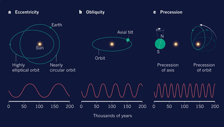
The warming and cooling events that have driven the growth and retreat of the glaciers are controlled by periodic changes in Earth’s orbit that are caused by the gravitational tugs of the sun and the other planets (mostly Jupiter). These are called the Milankovitch cycles, named for a mathematician working in the 1930s. The Earth’s orbit around the sun gets slightly more ovoid (eccentric) on a 100,000-year cycle, the tilt of its axis varies between 21.5 degrees and 24.5 degrees on a 40,000-year cycle, and about every 20,000 years it completes a wobble (precesses) like a spinning top. Together, these cyclic changes in Earth’s orbit dictate how much solar energy the planet receives, and how strong the seasonal swings are. At times of greater solar energy, the planet warms and the glaciers are small. As the cycle shifts, glaciers begin to grow. The most recent glaciers reached their peak about 20,000 years ago and were gone by about 13,000 years ago. The maximum solar input in this cycle occurred a few thousand years ago, meaning that in the absence of human influences, the planet would now be cooling down.
Niwot Ridge is home to the University of Colorado Mountain Research Station. Scientists there have been recording temperature and atmospheric gas concentrations since the 1960’s, making this the second longest record of atmospheric gas content in the world. This record shows that CO2 concentration has been steadily increasing, ratcheting upward each year of the record. Scientists have also been able to record the CO2 concentration of the atmosphere over the last 800,000 years from air bubbles trapped in Antarctic ice.
When the Niwot Ridge record is combined with the ice core record, we see clearly that CO2 concentrations began to climb far above their normal range when humans began abundant fossil fuel combustion in the Industrial Revolution. The atmospheric concentration of CO2 had never climbed much above 280 parts per million during the entire 800,000-year record through all of the many previous warm and cold climate cycles. In fact, it had basically bounced between values of 180 ppm in the glacial times and 280 ppm in interglacial times. But the concentration of this greenhouse gas recently eclipsed 400 parts per million. Because CO2 and other greenhouse gases are transparent to radiation in the visible part of the spectrum, which we call simply “sunlight”, sunlight passes through the atmosphere to warm the planet, just like it would in the absence of an atmosphere. On the other hand, it just so happens that those same gases get excited by the infrared radiation that the planet must radiate back to space to maintain a radiation balance. They vibrate, stretching and retracting those bonds between the two O’s and the C in the molecule. In effect they steal some of that radiation on its way out. So in order to balance the radiation budget, the earth’s surface must emit more radiation, and that requires that the earth’s surface warm up a bit. That is the essence of the greenhouse effect. The higher the concentration of these greenhouse gases our atmosphere has, the hotter the planet’s surface must be to counter their infrared radiation robbery. Through our combustion of fossil fuels we are altering the natural climate cycles that have triggered the growth of the glaciers that sculpted the Colorado Rockies, sending the Earth’s climate onto a new trajectory that will bring us conditions that the human species has never experienced in its history. We are currently studying the reaction of the mountains to this changing climate by monitoring those few glaciers that do exist in the nooks and recesses of the high peaks in the western US, by documenting the changing temperatures in the ground that have along many ridges been below freezing for thousands and thousands of years (they are “permafrost”), and studying the changes in the tundra and forests that clothe the landscape.
Shortly after, the group returned down the mountain sparking conversations about geology, wonder, and everything in between. Lon and Bob’s exuberance of geology knowledge left everyone with a much greater understanding of the wonder of the Colorado Rockies.